You searched for
See & do
-

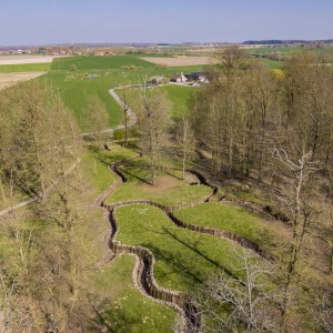
Bayernwald (Bayern Wood)
This unique German site is located between the villages of Wijtschate and Voormezele. The site consists of two mine galleries, a mine shaft, a trench system and five bunkers. It ...
-

Lettenberg Hill
The 'Lettenberg' hill is a spur of the much larger Kemmel Hill, which was the most important British observation post in the sector. Towards the end of 1916, the British ...
-

Pool of Peace
The Pool of Peace (or Lone Tree Crater) in Wijtschate is now a peaceful reminder of the great Mine Battle of June 1917. The opening of the offensive was marked ...
-

Refugees Memorial Garden
In the Hellegatstraat, some 300 metres from the church in Westouter, there is a memorial garden that commemorates the plight of refugees in the First World War and in other ...
-

Kemmel Chateau Military Cemetery
The castle or chateau of Kemmel stood to the north-west of the village and the cemetery was opened on the north side of the castle park in December 1914. It ...
-
Peace
Silent witnesses in stone, earth and wood. Heuvelland has hundreds of them. Memories of three world conflicts, but also reminders of the many wars that still rage today. Something to ...
Do
-
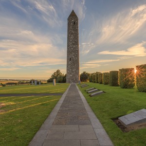
'Zero Hour' The Battle of Messines - 8 km
On this trail, you'll be joined by William Redmond, John Meeke and many other Irish, New Zealanders and Australians who gave their lives on the ridge between Wijschate and Messines. ...
-
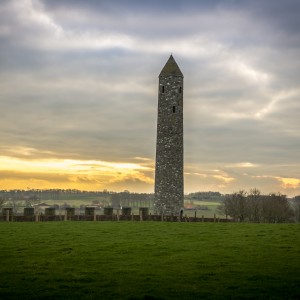
'Zero Hour' The Battle of Messines - 10 km
On this trail, you'll be joined by William Redmond, John Meeke and many other Irish, New Zealanders and Australians who gave their lives on the ridge between Wijschate and Messines. ...
-
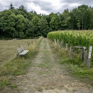
Crater and mines 7,1 km
On 7 June 1917, in the middle of the First World War, nineteen mines were exploded under the German positions near Wijtschate. The explosions left craters that are distinguished by ...
-
Bayernwald cycling route
Located at an elevation of 40 metres, Bayernwald has great military and strategic value. Holding high ground offers armies an advantage: a good view of the enemy front line. Start: Wijtschate...
-
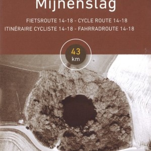
Cycling route 'Mine Battle' 14 - 18
Cycling route 'Mine Battle' (43 km) takes you along the places where 19 mines exploded on 7th June 1917. The cyling route is 43 km and signposted. Start: Visitor's Centre, Sint ...
